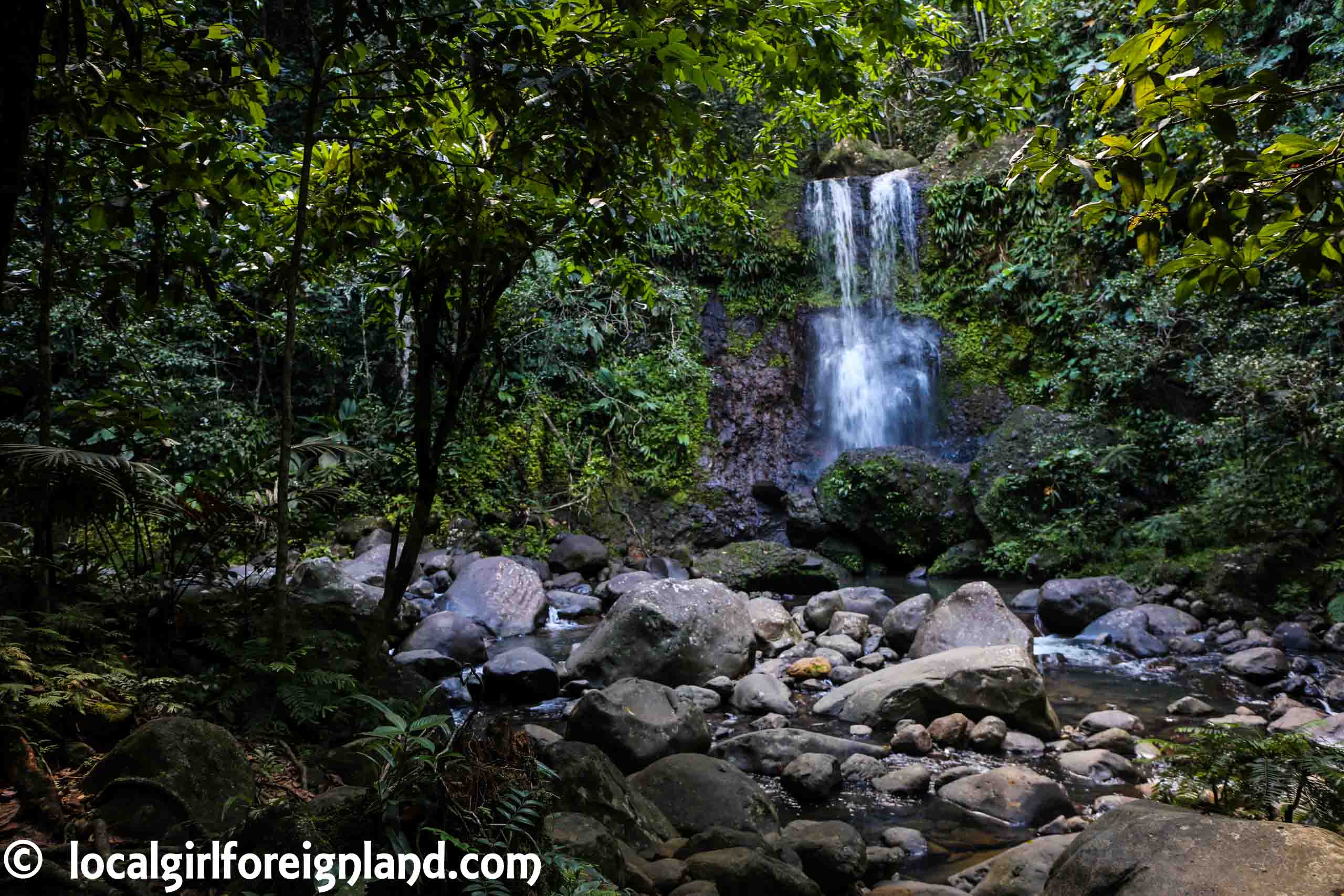
There are many amazing hikes in Guadeloupe, but if you’re a couch potato like me, it is hard to figure out which one is do-able. Here a list of easy coastal and forest hikes, all can be completed under 3 hours!
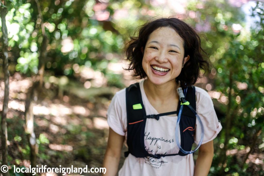
I have hiked all of the trails mentioned on this post. Please note that I am an extraordinarily clumsy hiker who takes at least 100 photos on any hike. All duration time mentioned are based on the official information. If you want to know how long it actually took me, click into the individual post.
La boucle Tête Allègre, Sofäia
Location: Sainte Rose, Basse Terre
Type: Forest

This is THE toughest hike on this list. lol I thought I start off on a high note. On Google map, it is labelled, “Le saut des trois cornes”, but on the sign at the entrance, it is “La boucle Tête Allègre”. The first half of the hike has negligible inclination, but steady climb on the way back (max 30 degrees I think). The most difficult part is to cross the stones over the water towards the waterfall, but that’s like 50m? It is an extra route, you can totally skip that and finish the hike without crossing the stones.
Duration (return): 2.5 hours
Swim: No. A powerful shower is possible though.
Mud: Yes
Hat: Unnecessary
Sunglasses: Unnecessary
La maison de foret
Location: Petit Bourg, Basse Terre
Type: Forest
Depending on weather condition, it is borderline do-able in flip flops. It is that easy, okay? If muddy feet bothers you, closed toe shoes are recommended. The whole trail is quite flat. Very little balancing skill required. If there has been recent rainfall, it gets muddy and a bit “sticky” to walk on. For the full review, click here.
Duration (return): 1 hour
Swim: No
Mud: Yes and sticky
Hat: Unnecessary
Sunglasses: Unnecessary
Le Gros Morne
Location: Deshaies, Basse Terre
Type: Forest
How easy was this hike? I wore snorkelling shoes and a kaftan. We were chilling out on Plage de Grand Anse and saw people coming out of the grooves. No hiking skills required. The ground is super dry, so nothing slippery is happening over here. The path is very clear. The only difficulty is the inclination. It is a steady climb almost all the way. It is a short hike next to the sea 😉 Gorgeous aeriel view of the famous Grande Anse.
Duration (return): 2km return, but there was no official time on the information board. It was a pretty short hike. Probably 1h30 to 2 hours?
Swim: No
Mud: No *never wet at this place, this place’s nickname is <dry forest> because of the consistent wind that dries up everything
Hat: Nice to have
Sunglasses: Unnecessary
Chutes du Carbet (Carbet Falls)
Location: Basse Terre
Type: Forest
Probably the most famous waterfall in Guadeloupe. There are actually 3 waterfalls in this national park, 2 of them are difficult to reach. I am talking about semi-rock climbing skills required. For a mere mortal such as myself, I took the TF (très facile) for very easy route. It is possible to do the TF route wearing only flip flops! Watch out for slippery wood planks. Anyways, the viewing point for this stroll is the <Le Grand-Étang> aka 2nd waterfall. For the full review, click here.
**Stick to the official path. There are spots with unstable soil / landslide.
Duration (return): 1.5 hours
Swim: er… no
Mud: No
Hat: Unnecessary
Sunglasses: Unnecessary
Pointe des Châteaux
Location: Saint Francois, Grande Terre
Type: Coastal
This is a 90% flat hike. A coastal hike with a combination of beach, open fields and a bit of forest. It is an easy, scenic hike. For more information, read my full post.
Duration (return): 2 hours
Swim: Yes
Mud: No / unlikely to encounter
Hat: Necessary
Sunglasses: Nice to have
Le sentier de Deville-Maisoncelle
Petit Canal, Grande Terre
Type: Fields and forest
No major viewing point, just a nice walk next to banana / coconut nuts / pineapple / sugar cane. This is a super flat hike with a combination of forest and open fields (extreme sun exposure). Take LOADS of sunscreen and water with you for this short hike. Got very lost and ended up wandering in the forest for a bit. My husband refused to use Google map. Honestly, why does man have a problem with asking for direction in general? This is a rare hike that has decent data signal.
Duration (return): 2 hours
Swim: No
Mud: Yes and sticky
Hat: Necessary
Sunglasses: Nice to have
Camera: Canon 5D mark 3, Samsung Galaxy S7 edge
Twitter / Instagram / Facebook / Google+ / Pinterest

