This hiking trail should really be named the Rainbow Hike. Seriously, you will see rainbowS on this hike regardless of weather. Read on to find out why 😉
Start: Plage de la Porte d’Enfer
End: Pointe du Souffleur
Trace des douanier is the northern 4km section of the long, one-way 11km Trace de la Grande Falaise (trail of the big cliff), but if I’m to do the whole route in one go and still go back to the car, it is a 9 hours non-stop hike. So clearly, doing it all in one go was not an option.

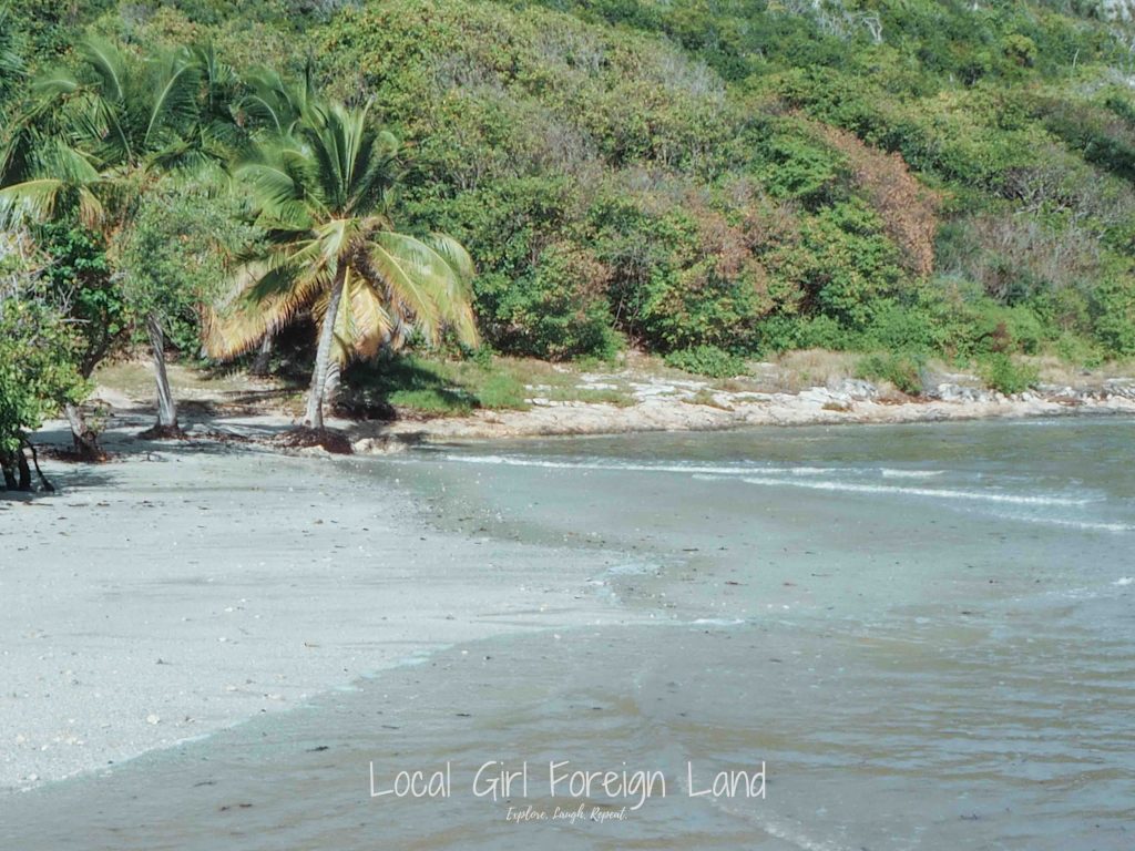
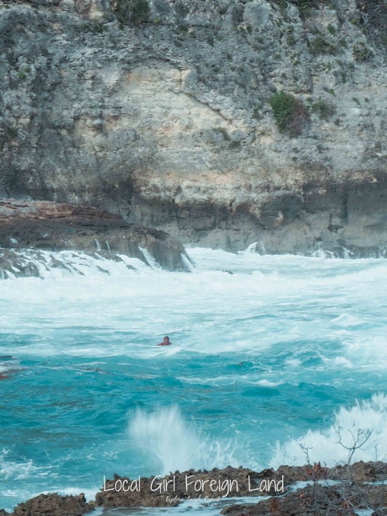
Anyways, back to the Trace des douanier. This trail starts from Porte d’Enfer (translates to Hell’s Door). Not sure why the name though, maybe because the shape of the cliff bay? At the beginning of the hike, you’ll come across a fine sand beach that looks very shallow. Do not put any of your possessions on the sand!!! The ocean floods the whole place. The sand is NOT “safe” for your electronic goodies and run the risk of being dragged into the sea.

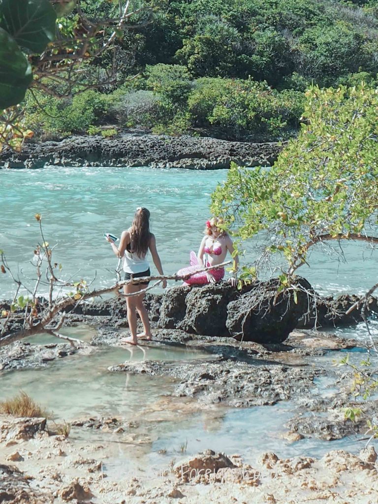
O and we spotted a mermaid as well (respect to this hard working instagrammer).
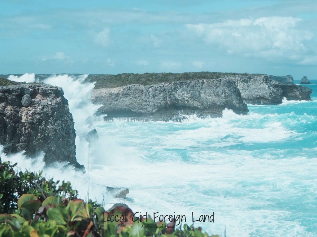
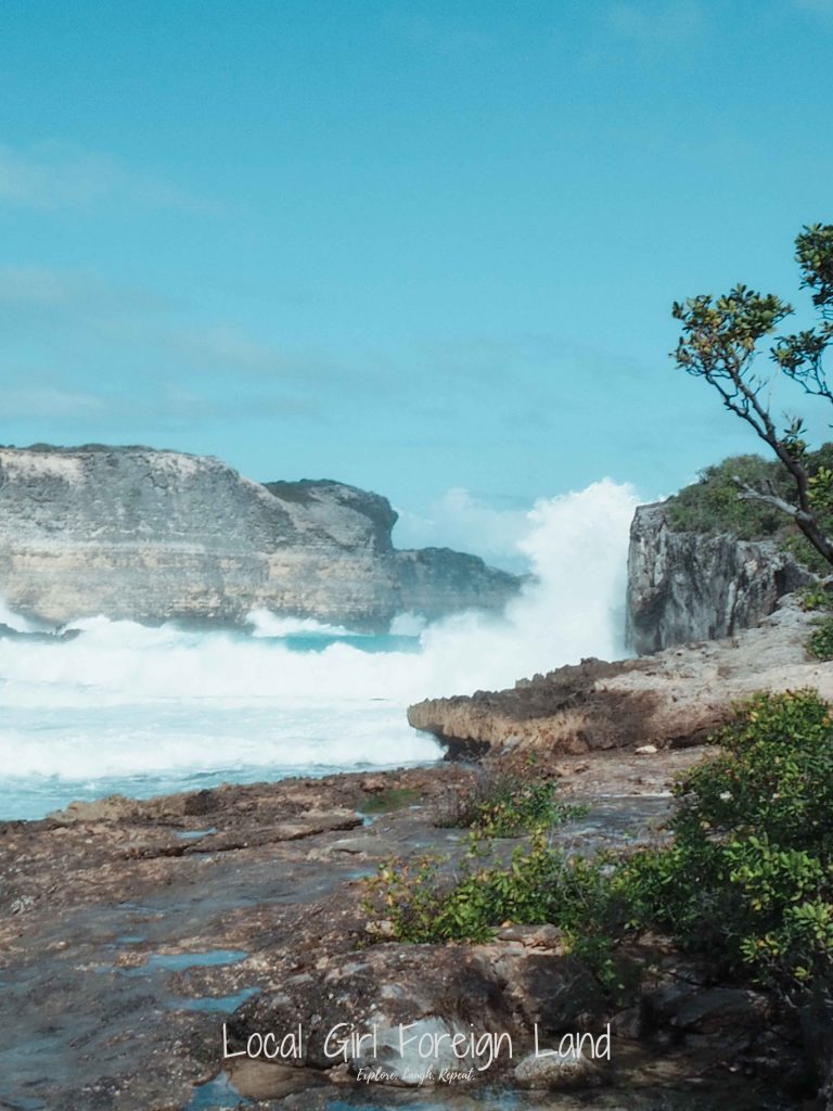
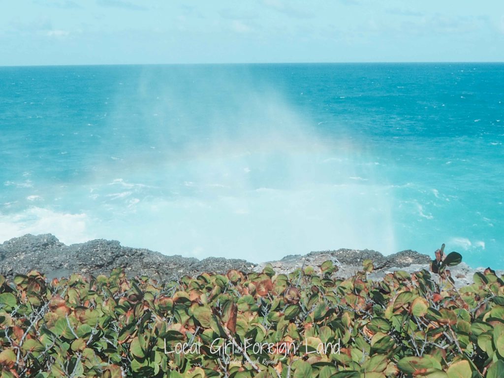
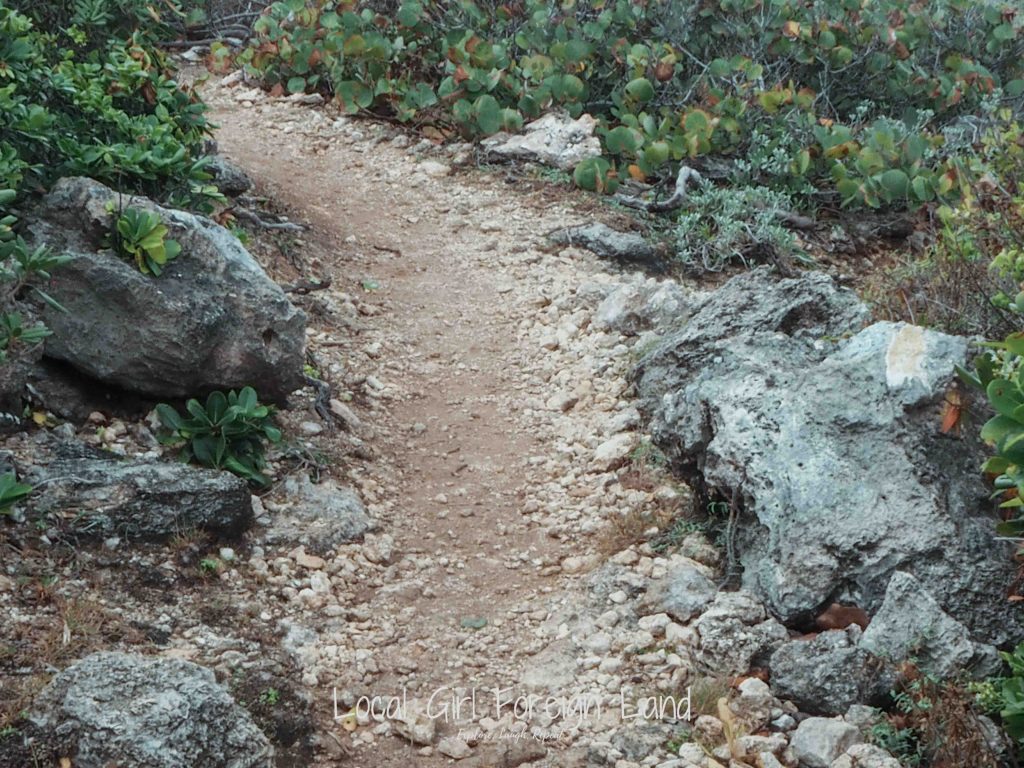
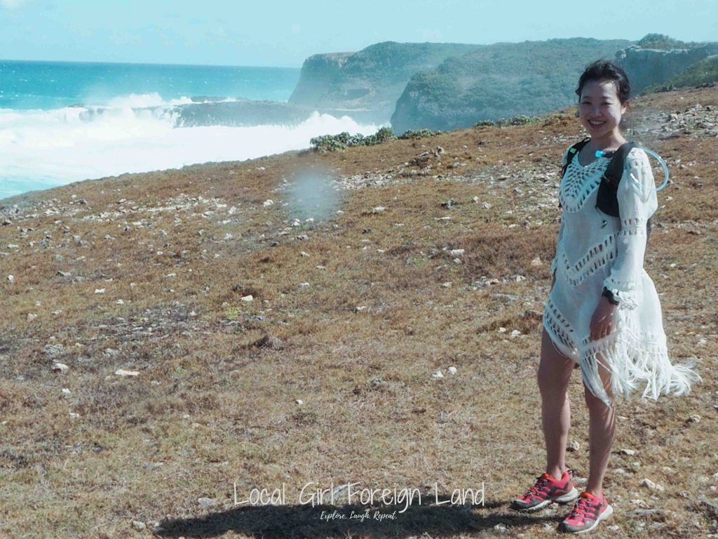
This is an easy, flat but rocky coastal hike. Very little balance skill needed. High probability of being sprayed by the sea though. Ja, I know, up in the cliff feels so safe, but these waves are strong okay. So much so that you’ll end up seeing rainbows everywhere because of the frequent spray. Protect your electronics is all that I’m saying.
The official trial highlights a place called Trou Madame Coco (a cave in the cliff). Trou Madame Coco is a legendary place where sacrifices and voodoo was practiced. Personally, I don’t understand why it is a highlight because it is not exactly accessible. Also, there so many “caves” in the cliff, how the hell am I supposed to know which one is the Trou Madame Coco one? O and signal is hard to come by, so it isn’t exactly “accurate” GPS tag either.
Another official highlight viewing point was a hole (Le Trou du Souffleur) that is in the middle nowhere that also sprays. With so much waves crashing and spraying everywhere, I don’t really feel that this hole is that much of a highlight.

IMPORTANT note:
95% of this hike is in the open – aka wind, spray and sun. Decide for yourself what gear is the most appropriate for you 😉 My personal recommendations are:
- Sunscreen SPF50+ with UVA protection (esp on the back of your neck)
- Cap (that is tightly fitted to your head)
- Weather protection for your electronics
- Closed toes sneakers (I always wear hiking shoes though)
Official information – Trace des douanier
Difficulty: Easy
Distance: 8km
Duration (return): 3h
How long did it actually take me? 4h00, but I think 3h can be done easily for real. The view is just so beautiful though. It is very hard to not stop and just watch the view if you know what I mean?
!!! There is more than one Porte d’Enfer. This one is located at the north of Grande Terre that belongs to Anse Bertrand.

We did try Trace de la Grande Falaise starting from the other end (Pointe Petit Négre). The Pointe Petit Négre side was something else; that was a hard core difficult hike, a story for another time. So all in all, we did actually finish the whole Trace de la Grande Falaise.